All Services
From highway mapping to disaster management — we deliver precise aerial data for every infrastructure sector using DGCA-certified pilots and advanced UAV technology.
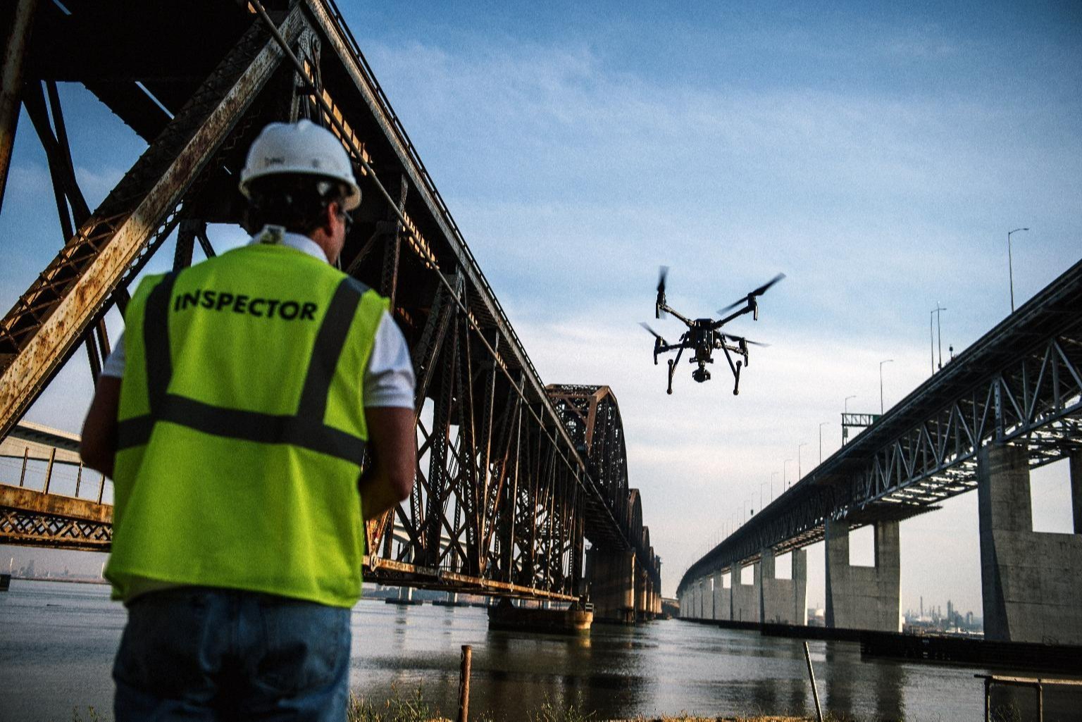
All pilots are DGCA certified. We handle all airspace permissions and regulatory compliance for your project.
RTK/PPK GPS systems delivering ±3–5 cm accuracy — meeting the most demanding engineering and statutory requirements.
Rapid data processing and report delivery — from flight to final output in 48–72 hours for most survey types.
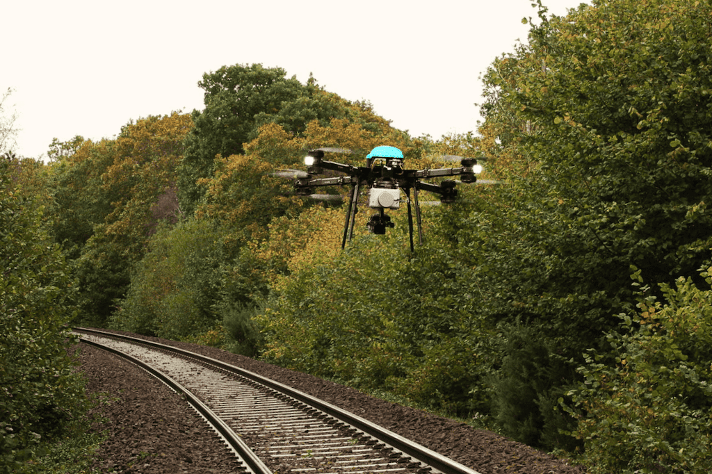
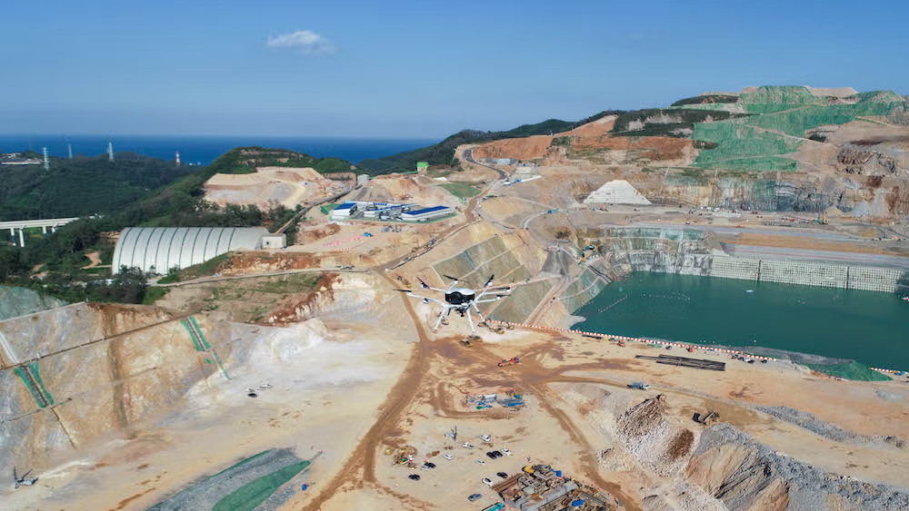
We operate across India — from Himalayan hydropower projects to coastal infrastructure and remote forest surveys.
We take on custom drone survey projects across all sectors. Contact us with your requirements and we'll design a solution for you.