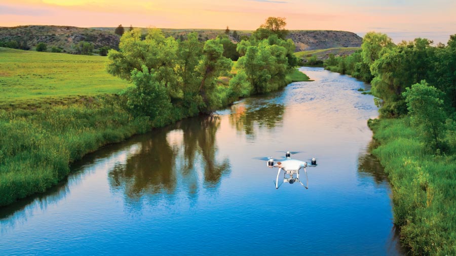
Comprehensive aerial surveys for river corridors, irrigation canals, flood plains, and water bodies — delivering accurate mapping, embankment monitoring, encroachment detection, and flood risk analysis for water resource management.

River and canal surveys have traditionally required boat-based teams, dangerous wading surveys, and manual measurements — slow, inconsistent, and unable to cover vast flood plains efficiently. Our drone surveys deliver complete corridor data from the air — embankment conditions, encroachments, erosion, and flood plain topography — in a fraction of the time and with far greater safety.
A 100 km river corridor survey including flood plain mapping that takes a ground team 3–4 weeks can be completed with drone technology in 2–3 days — with 3D flood plain models accurate enough for hydrological flood simulation.
Complete corridor survey including active channel, flood plain, embankments, and adjacent land — high-resolution DEM for flood inundation modelling and HEC-RAS analysis.
Detailed aerial inspection of flood embankments, levees, bunds, and anti-erosion structures — identifying settlement, cracks, seepage, and breach-risk sections.
Canal alignment survey, lining condition assessment, silt deposition monitoring, and encroachment detection along irrigation canal networks for water departments.
Periodic drone surveys to measure riverbank erosion, channel migration, and accretion — critical data for river management and flood plain protection planning.
Detection of illegal encroachments, constructions, sand mining activities, and dumping in river flood plains and canal ROW for enforcement authorities.
Baseline and progress monitoring surveys for river rejuvenation, Namami Gange, and urban river restoration projects — tracking changes in water body extent and quality zones.
We define the river corridor extent, identify restricted zones near bridges and populated areas, and obtain all required DGCA airspace and authority permissions.
GCPs are established at intervals along both banks using DGPS for accurate georeferencing of orthomosaics, DEMs, and cross-section profiles.
Systematic flight coverage of active channel, flood plains, and embankments on both banks. High overlap imagery ensures complete 3D reconstruction.
High-density point clouds and DEMs are generated for flood plain modelling. Orthomosaics are produced for mapping, encroachment detection, and change analysis.
Cross-section extraction, long profile generation, and flood plain DEM preparation for HEC-RAS or SWMM hydraulic modelling by the project engineers.
Complete river survey report with orthomosaic, DEM, cross-sections, encroachment map, and embankment condition report delivered within 72 hours.
High-res corridor image mosaic
Digital elevation model for HEC-RAS
River cross-section profiles
GPS-tagged encroachment inventory
Flood plain contour map
CWC-format river survey report
Share your corridor details — get a custom quotation within 24 hours.