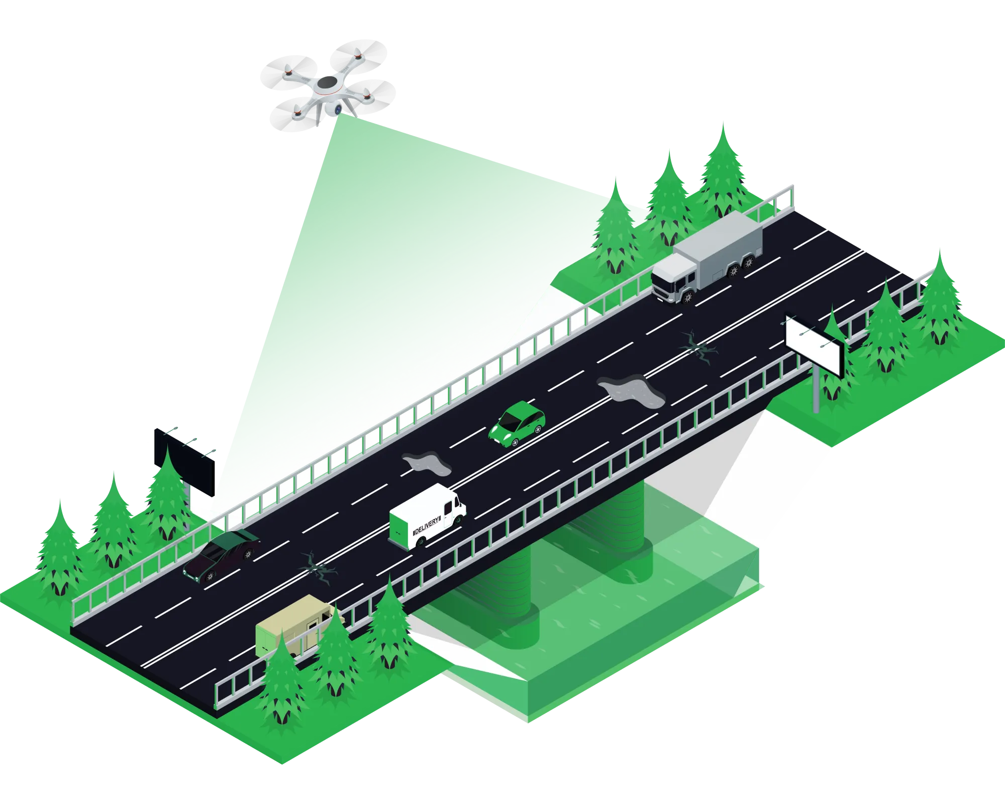
Fast, highly accurate aerial surveys for highway planning, road corridor mapping, and construction monitoring — using advanced UAV technology that saves time, cost, and delivers centimetre-level precision.
Traditional highway surveys are slow, expensive, and often dangerous — requiring large teams working on or near live traffic. Our drone-based approach captures the same data in a fraction of the time, with no disruption to traffic and significantly reduced risk.
A corridor survey that traditionally takes 3–4 weeks with a ground team can be completed by our UAV fleet in 2–3 days, delivering higher accuracy data at lower cost.
Our highway drone survey service is applicable across multiple project types and phases.
Route alignment study, terrain mapping, soil classification corridors, and complete pre-construction survey packages for greenfield highway projects.
Precise cross-section data, existing pavement condition mapping, and volumetric calculations for road widening and upgrading existing corridors.
Regular drone flights to track earthwork progress, embankment levels, and compare actual vs planned construction timelines for project managers.
Close-range photogrammetric inspection of bridges, culverts, retaining walls, and underpasses for crack detection and structural assessment.
Accurate boundary mapping, structure enumeration, and utility corridor identification for land acquisition and ROW clearance support.
Post-construction aerial documentation for as-built record mapping, contractor billing verification, and project handover compliance checks.
We review your project scope, corridor length, terrain type, and deliverable requirements. A site recce is conducted for obstacle mapping and airspace clearance planning.
Automated flight paths are planned for complete corridor coverage. Ground Control Points (GCPs) are placed and surveyed for sub-5cm accuracy georeferencing.
Our DGCA-licensed pilots execute flights capturing high-resolution imagery at 70–80% overlap. RTK GPS ensures real-time positioning accuracy during capture.
Captured images are processed using advanced photogrammetry software to generate orthomosaics, point clouds, DEMs, and 3D terrain models.
All outputs undergo rigorous quality checks against GCP accuracy reports. Data is validated to meet project accuracy specifications before delivery.
Final deliverables are packaged in your required formats and shared within 48–72 hours. Full post-delivery support is provided for data integration.
High-res georeferenced image mosaic
Digital Elevation & Terrain Models
LAS/LAZ format point cloud data
Longitudinal & cross-section profiles
1m or 0.5m interval contours
Full accuracy & methodology report
Share your project details and get a customised quotation within 24 hours. DGCA licensed pilots, pan-India operations.