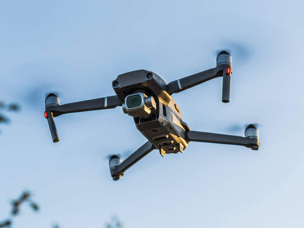
Every frame precisely located — our geotagged aerial video captures continuous 4K footage with embedded GPS coordinates, altitude, heading, and timestamp metadata, creating a searchable geospatial video record for asset documentation, progress monitoring, and project reporting.
Live HUD overlay with GPS, altitude & heading data embedded in every frame
Standard drone video shows you what something looks like. GeoTagged video tells you exactly where it is. Each frame of our geotagged footage carries embedded GPS coordinates, altitude, compass heading, gimbal angle, and timestamp — so any point in the video can be instantly located on a map. This transforms aerial video from documentation into a georeferenced spatial asset.
With geotagged video, a project manager can click any frame in the footage and see its exact location on Google Maps — instantly knowing where every crack, encroachment, or construction issue is located without going to site.
From project progress to pipeline patrol — geotagged video is the most efficient tool for location-aware aerial documentation.
Weekly or monthly geotagged video of construction sites — embankment progress, structure erection, road works, and earthwork — with exact location for every observation. Project managers review progress remotely without site visits.
Continuous geotagged video patrol of pipeline corridors — any encroachment, earth disturbance, or leak indicator is captured with precise GPS location. Field teams go directly to the exact map coordinate for verification.
Continuous road condition video documentation with GPS — every pothole, crack, damaged sign, or drainage issue is automatically located on a map. Ideal for road maintenance planning and contractor performance audits.
Geotagged video documentation of land boundaries, ROW clearance, demolition progress, and encroachment for legal records, project documentation, and government submissions.
Complete visual inventory of industrial facilities, plant equipment, storage tanks, and infrastructure — each asset documented with GPS coordinates for digital asset management systems.
Real-time geotagged video for flood damage, landslide, fire, or earthquake response — giving emergency managers precise location data for every affected structure or infrastructure element.
The drone's onboard RTK GPS records position at 10+ Hz — logging precise coordinates, altitude, heading, and speed synchronized with every video frame captured by the camera.
Flight path is planned for optimal corridor coverage — typically a continuous forward-looking or nadir flight along the survey route at a consistent altitude for uniform ground coverage.
The gimbal-stabilized 4K camera captures smooth, vibration-free footage at 30 or 60 fps. Simultaneously, the drone logs telemetry data in SRT/EXIF format synchronized to the footage timecode.
GPS coordinates, altitude, heading, and speed are embedded into the video file. Quality check confirms frame-accurate synchronization between telemetry data and video footage.
The complete flight path is exported as a KML/KMZ file for Google Earth or GIS overlay — enabling the client to play back video while viewing the drone's position on a map simultaneously.
Geotagged video files, SRT metadata files, KML path, and a simple playback guide are delivered within 24 hours. No special software needed — works with VLC, GoodVideo, and major GIS platforms.
Full 4K footage with embedded GPS metadata
Frame-accurate GPS telemetry data file
Google Earth & GIS compatible path file
Timestamped location log for key frames
Telemetry HUD burned into video (optional)
Complete flight parameter log
Share your corridor or site details — get a custom quotation within 24 hours. Every frame, precisely located.