Ecological Drone Survey

Forest & Wildlife
Drone Survey

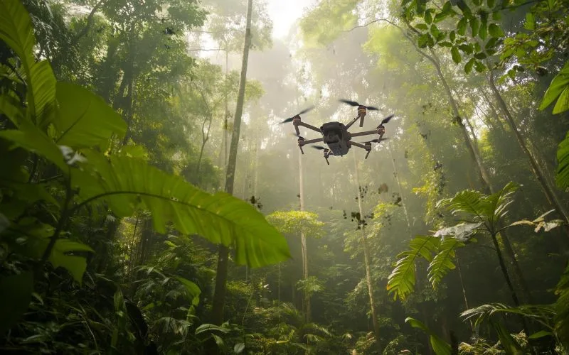
Non-invasive aerial surveys for forest cover mapping, wildlife population monitoring, encroachment detection, and biodiversity assessment — delivering critical ecological data with minimal disturbance to sensitive habitats.

Forest aerial survey
Forest Cover MappingWildlife CensusNDVI AnalysisEncroachment DetectionFire Risk MappingTree Canopy DensityHabitat Mapping Forest Cover MappingWildlife CensusNDVI AnalysisEncroachment DetectionFire Risk MappingTree Canopy DensityHabitat Mapping
Service Overview

Why Drones for
Forest & Wildlife?

Traditional forest surveys require large field teams working in difficult terrain for weeks — disturbing wildlife, missing inaccessible areas, and delivering inconsistent data. Drone surveys cover vast forested areas quickly from above, with multispectral imaging for vegetation health, thermal sensors for nocturnal wildlife, and RGB for encroachment mapping — all with minimal ecological impact.

A drone survey covers 1,000+ hectares per day with consistent aerial perspective — replacing weeks of ground team surveys while accessing terrain that is physically impossible to reach on foot.

  • Forest cover change detection and LULC mapping
  • NDVI and multispectral vegetation health analysis
  • Thermal wildlife census and habitat mapping
  • Forest encroachment and illegal felling detection
  • Canopy density, tree count, and biomass estimation
  • MoEF, WII, and FSI standard compliant outputs
Applications

Forest Survey Applications

Forest Cover & LULC Mapping

High-resolution land use/land cover classification for forest departments — dense forest, open forest, scrub, grassland, and degraded areas mapped with GIS-ready outputs.

Wildlife Population Monitoring

Thermal and RGB drone surveys for wildlife census — elephant, deer, tiger, and bird population counts in protected areas with minimal disturbance to animals.

Vegetation Health (NDVI/Multispectral)

Multispectral drone imaging for NDVI, NDRE, and other vegetation indices — identifying stressed, diseased, or degraded forest areas for targeted intervention.

Encroachment & Illegal Felling

Regular aerial monitoring to detect forest encroachments, illegal tree felling, mining, and agricultural expansion into protected and reserved forest areas.

Forest Fire Risk & Damage Mapping

Pre-fire season fuel load and risk mapping, active fire monitoring support, and post-fire burn area damage assessment for forest departments.

Afforestation Monitoring

Progress monitoring of plantation and afforestation projects — tree survival rates, canopy growth, and plantation coverage for CAMPA and compensatory afforestation compliance.

How It Works

Our Survey Process

01
Forest Authority Permissions

Wildlife sanctuary and national park surveys require forest department and Wildlife Crime Control Bureau permissions. We handle all regulatory filings for sensitive area operations.

02
Sensor Selection

RGB for mapping, multispectral for vegetation analysis, thermal for wildlife detection — sensor payload is chosen based on survey objectives.

03
Low-Disturbance Flight Operations

Flights are conducted at altitudes minimising wildlife disturbance. Approach routes avoid nesting areas, and dawn/dusk operations are used for thermal wildlife surveys.

04
Imagery & Spectral Processing

RGB imagery is processed for orthomosaics and 3D canopy models. Multispectral data is processed for NDVI, NDRE, and LULC classification maps.

05
GIS Analysis & Change Detection

Forest cover change analysis, encroachment delineation, and wildlife habitat mapping are performed using GIS tools on the processed datasets.

06
MoEF/WII Report Delivery

Comprehensive forest survey reports with GIS data, NDVI maps, species habitat maps, and change analysis delivered in FSI/WII compatible formats within 72 hours.

Start Your Project

Need a Forest & Wildlife
Drone Survey?

Share your forest area and objectives — get a custom quotation within 24 hours.