Industrial Infrastructure Survey
Oil & Gas
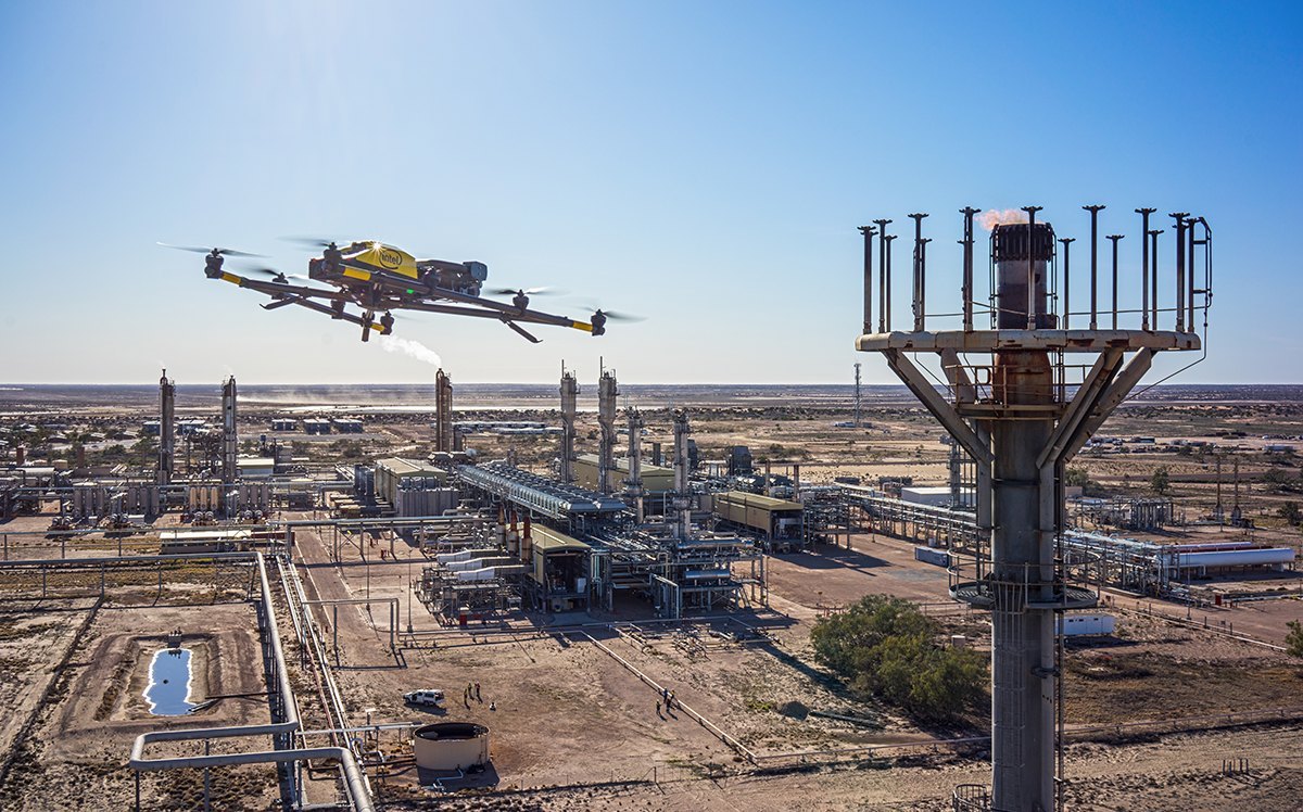
Drone Survey
Comprehensive aerial surveys for oil and gas pipelines, refineries, storage facilities, and offshore platforms — delivering asset data, leak detection, and right-of-way mapping safely and efficiently.