Jaipur, Rajasthan — Est. 2019

India's Trusted
Drone Survey Partner

We are a team of DGCA-licensed drone pilots, GIS specialists, and survey engineers delivering high-precision aerial data solutions for infrastructure, mining, energy, and environmental sectors across India.

DroneDrishti operations
Our Story

From Jaipur to
Pan-India Operations

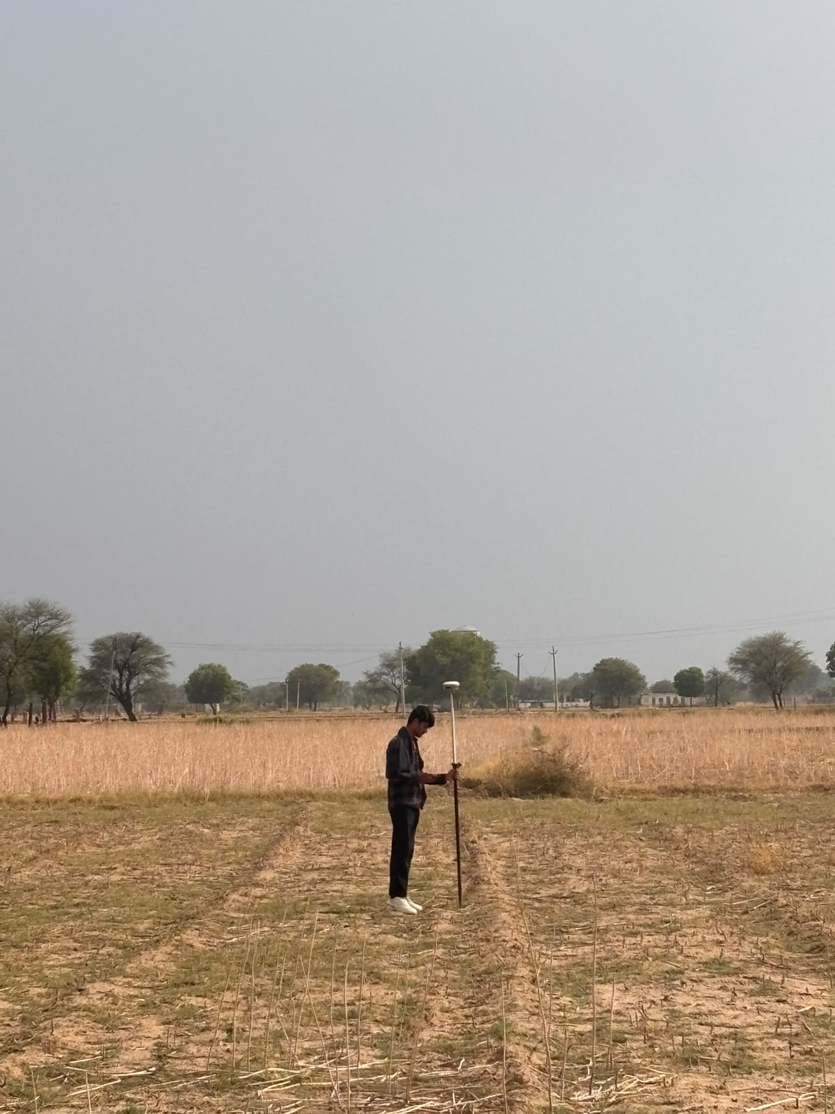
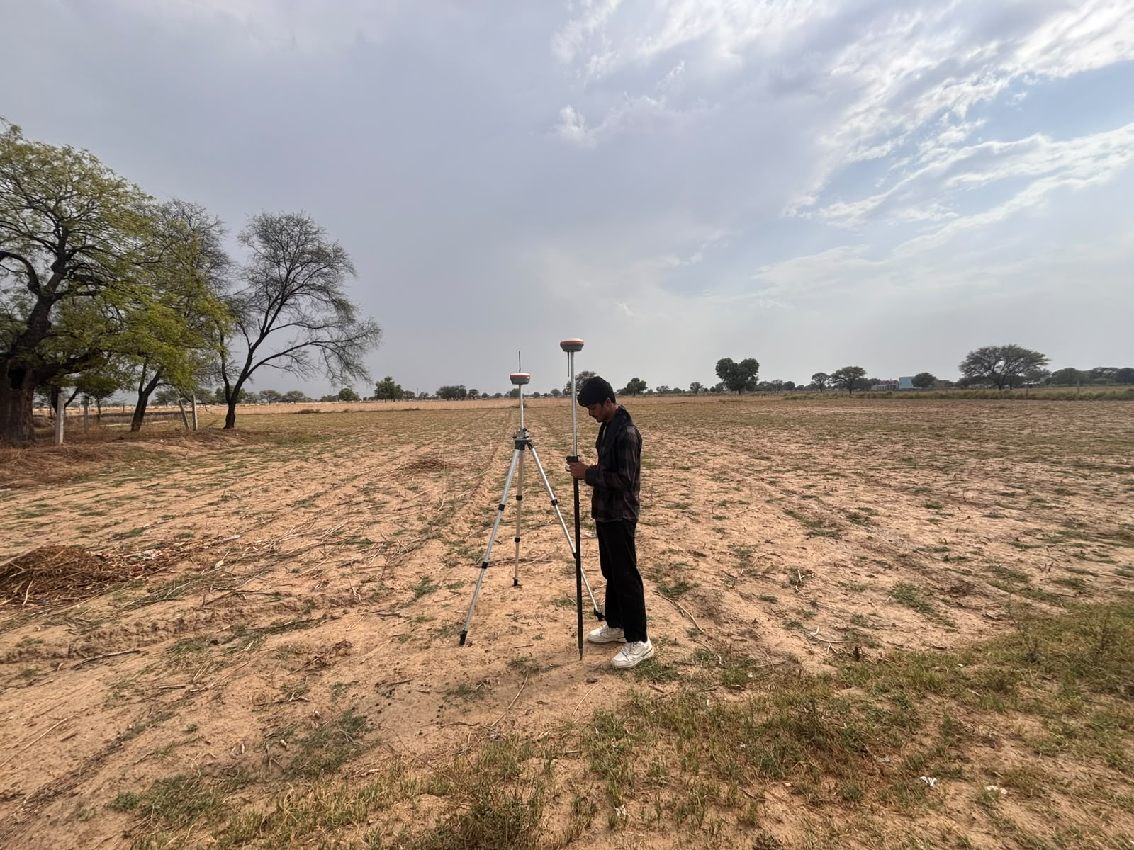
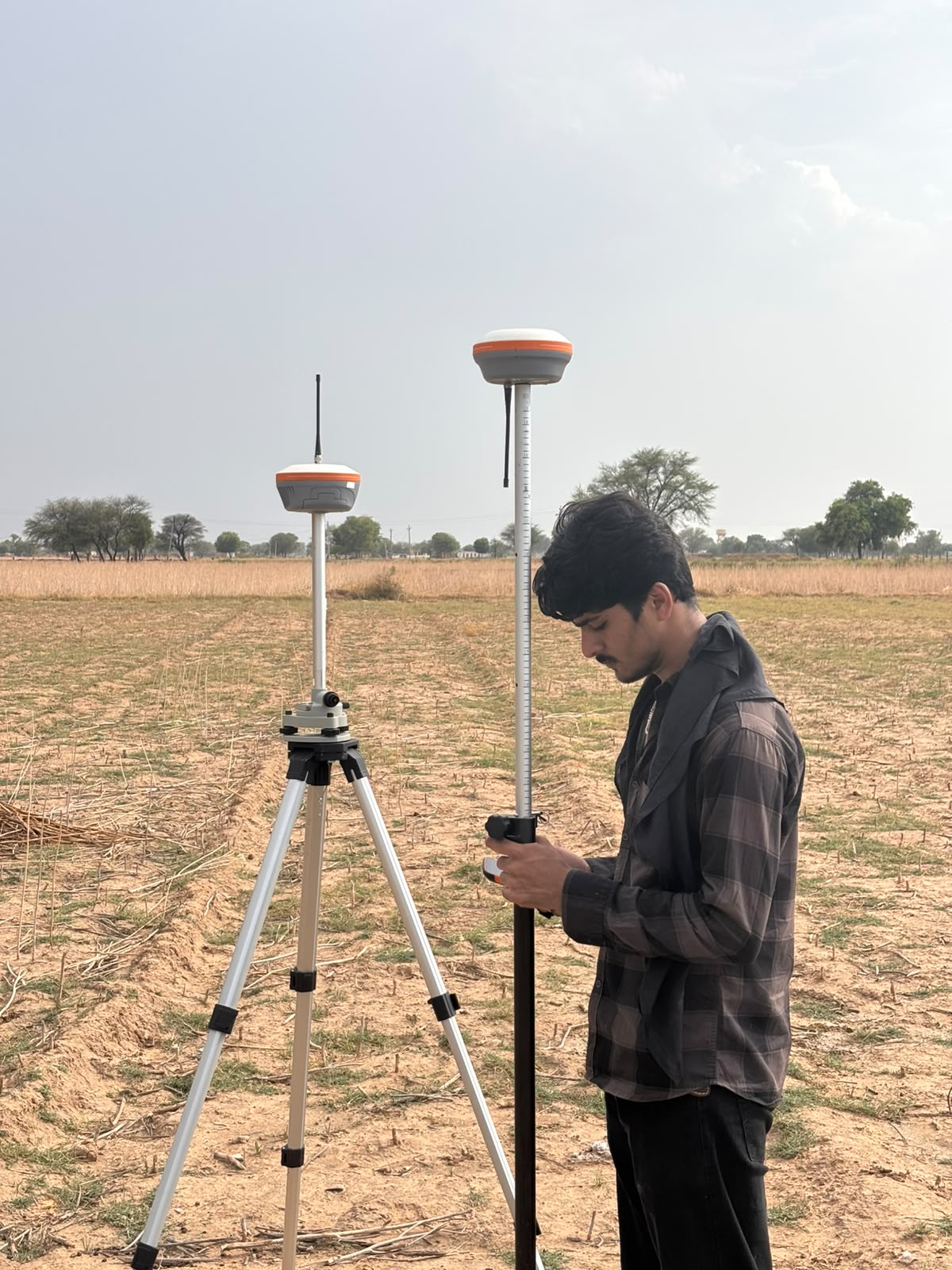
DroneDrishti was founded in 2019 with a clear mission — to make professional drone survey services accessible and affordable for infrastructure and engineering projects across India. What started as a small team of two pilots in Jaipur has grown into a full-service aerial data company with operations spanning 15+ states.

We recognised early that India's massive infrastructure push — highways, railways, smart cities, renewable energy, and mining — needed a faster, safer, and more accurate way to collect geospatial data. Traditional survey methods simply couldn't keep pace. Drones could. And we built our entire company around delivering that capability to engineers, planners, and decision-makers who need reliable data fast.

0+Years Experience
0+Projects Completed
0+States Covered
0+Hours Flown
Our Journey

Milestones That
Define Us

From our first survey flight to becoming a trusted partner for major infrastructure projects — every milestone has pushed us to deliver better, faster, and more precise aerial data.

Drone operations
2019
DroneDrishti Founded

Started operations in Jaipur with two DGCA-licensed pilots and a focus on highway and infrastructure survey — completing our first 50 km road corridor survey for a state PWD project.

2020
Mining Sector Entry

Expanded into IBM-compliant mining surveys for Rajasthan's limestone and marble mines — developing our proprietary volume calculation and report workflow for IBM statutory compliance.

2021
LiDAR Capability Added

Acquired airborne LiDAR systems, enabling bare-earth terrain mapping under dense vegetation — opening up railway, transmission line, and forested terrain survey projects.

2022
Thermal Inspection Division

Launched our thermal inspection division with FLIR-equipped drones — entering solar plant inspection and power line hotspot detection markets with IEC-compliant reporting.

2023
Pan-India Operations

Completed projects across 12 states including Rajasthan, MP, Gujarat, Maharashtra, and Uttarakhand — establishing on-ground coordination partnerships for rapid national deployment.

2024–25
20+ Service Verticals

Expanded to 20+ specialised service verticals including DPR surveys, disaster management, smart city GIS, forest surveys, and geotagged video — serving clients across government, PSU, and private sectors.

Our Work

Project Gallery

Our team in action — GNSS surveys, drone flights, GCP marking, and terrain mapping across diverse project sites in India.

River GCP Survey
Drone Flight Ops
GNSS Base Setup
Boulder GCP Marking
Mountain Terrain Mapping
Hydro Valley Survey
GNSS Rover Survey
GNSS Base Station
RTK GNSS Survey
What We Stand For

Our Core Values

Precision First

Every dataset we deliver meets or exceeds the accuracy specifications of the project. We never compromise on data quality — accuracy is non-negotiable.

Safety Always

DGCA compliance, risk assessment, and safe distance protocols are not optional add-ons — they are the foundation of every operation we conduct.

Speed Matters

We respect our clients' timelines. From same-day site mobilisation for emergencies to 48-hour data delivery — we work at the pace infrastructure demands.

Client Partnership

We don't just deliver data — we work alongside your engineering and planning teams to ensure the data is in formats you can actually use.

Credentials

Certified, Compliant,
Professional

Our operations are fully compliant with Indian aviation regulations and sector-specific standards. Every flight we conduct is backed by proper licensing, insurance, and statutory compliance.

DGCA Licensed Pilots

All drone operators hold valid DGCA Remote Pilot Certificates under UAS Rules 2021

NPNT Compliant UAS Fleet

All UAVs are NPNT-enabled and registered on the Digital Sky platform with valid UIN

Fully Insured Operations

All survey operations are covered by third-party liability insurance as required under UAS Rules

Sector Standards Compliance

IBM, IRC, CEA, NHAI, CWC, MoEF, IEC 62446-3 — we deliver in the formats each authority requires

Our Equipment

Advanced UAV Fleet

Multi-Rotor Fleet

For detailed inspection, urban surveys, and confined area operations

Fixed-Wing Fleet

For long corridor surveys covering 100+ km per day

LiDAR Payloads

Livox & Hesai UAV LiDAR for canopy penetration surveys

Thermal Cameras

FLIR Zenmuse H20T for solar, pipeline & industrial inspection

Let's Work Together

Ready to Start Your
Drone Survey Project?

Talk to our team about your project requirements. We're available Monday to Saturday, 10 AM – 7 PM.